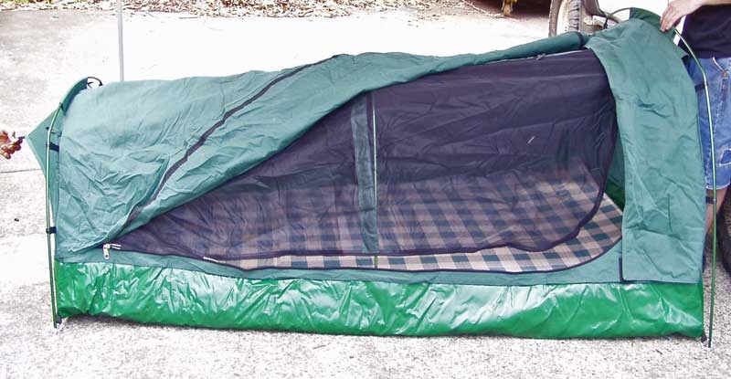
Ironman 4×4 Double Swag
January 11, 2012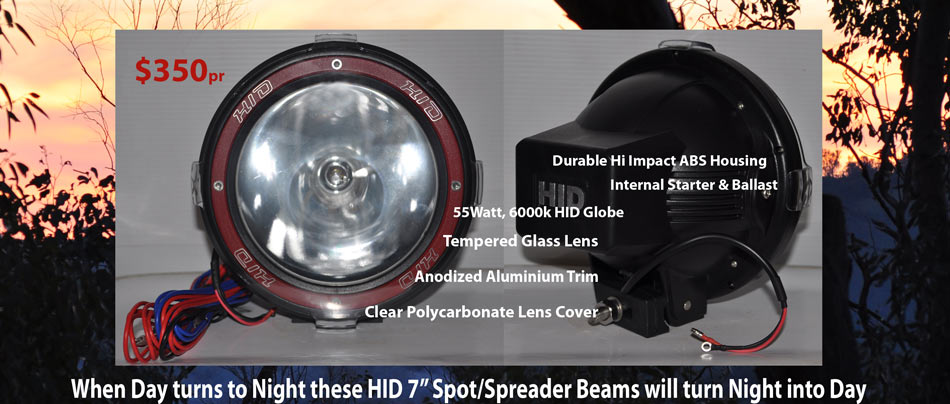
HID Driving Lights
May 6, 2012High Country Summer
6 December 2011
Christmas Holidays – 10 days off – the ‘cruiser and van are packed. The Victorian High Country beckons – lets go camping.
After heading south down the Hume to Albury we took the Tallangatta exit off the expressway and headed out along the along the Bandiana Link Rd towards the Kiewa Valley. After a long day in the car it was essential to find a quiet campsite for the night. Yackandandah, on the backway to Bright isn’t as crowded as the other mountain towns.
YACKANDANDAH
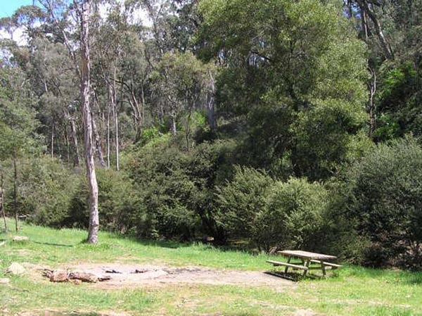
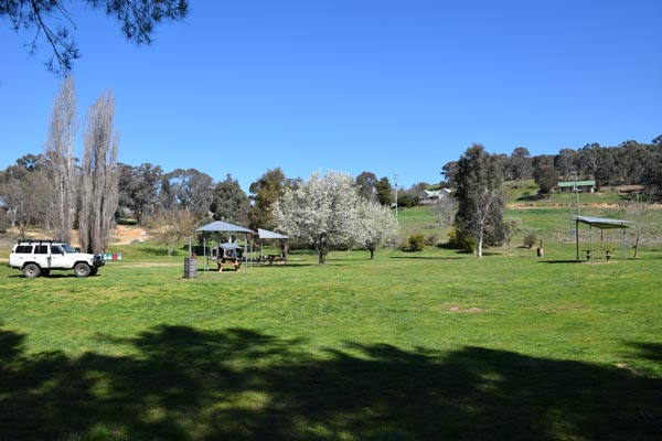
The Stanley State Forest camping areas are along the creek not far out of Yackandandah. With well constructed fireplaces, green grass, and the fast flowing Yackandandah Creek as the western boundary. Plus a drop toilet nearby, this little camp spot is a real winner.
Unfortunately, on this trip we were only able to stay here for the one night. But this spot was so close to Yackandandah it would have been suitable for a longer stay. It was easily accessible with room for all of us, even the larger caravan that was traveling with us.
Victoria’s approach to Parks & Recreation is so refreshing from NSW’s ‘lock it’ up approach. These camping areas are for all to use, across the road from our spot was a signposted ‘motorbike unloading area’ with ample parking for bike trailers, unheard of in NSW.
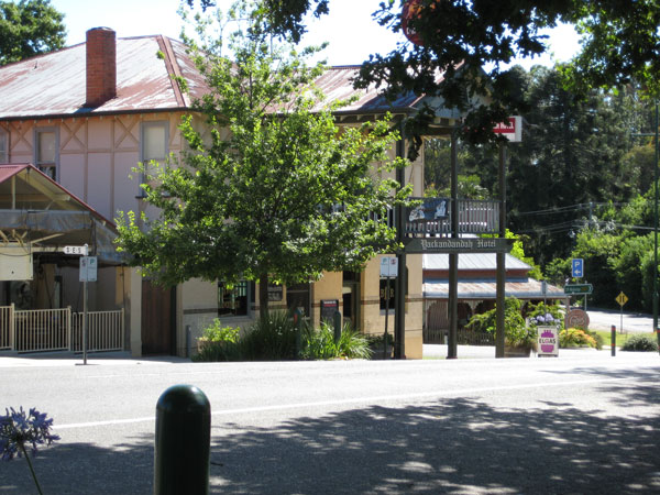
After a quick breakfast, we packed-up and headed back into Yackandandah for a look around. And to find the all important bakery & coffee shop. This little gem is very pretty, the street trees offer shade and add to the relaxed feel. The pub with it’s old-world timber trim, and the stone shopfronts make it a very nice place to take a walk.
After filling our bellies we headed out of town to link with Great Alpine Rd at Myrtleford. Following that until the turn at Porepunkah for our next camping spot along the banks of the beautiful Buckland River.
BUCKLAND VALLEY
The Buckland River Road winds along the valley until eventually climbing up into the mountains. Giving us direct access to some of the best camping sites alongside the Buckland River. And quick access to many mountain tracks for some scenic 4wd touring.
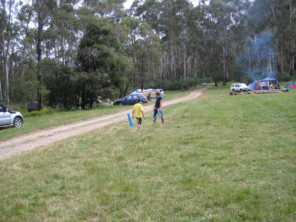
Green grass and lots of it. Plenty of room for kids and a game of cricket.
The best spots are usually taken early, so getting in there as early as possible will secure you a safe and lush camp site for as long as you want. Many of the camps close to town get populated with 2wds, as they are accessible to the main highway between Myrtleford and Bright.
Further along the dirt road are less popular camping spots. As we all had 4wds, we were more interested in the peace & isolation, one of the many benefits of owning a 4wd.
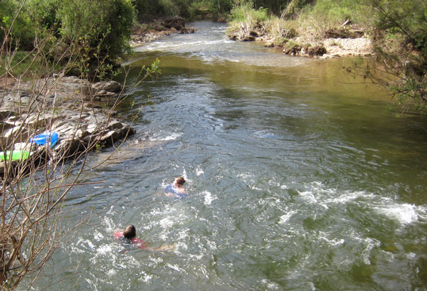
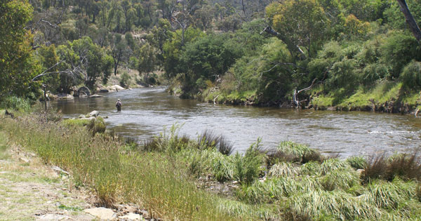
The beautiful Buckland River was flowing full and fast. Victoria had experienced a very wet spring and early summer. The kids didn’t mind a bit. Every afternoon after a days 4wdriving it was great to cool off in the clear water. Hot days and Cool nights.
Deep in the mountain valley we lost the warmth of the sun around 4.30pm each afternoon. We were extremely lucky we had no rain to dampen our spirits.
MYRTLEFORD – POREPUNKAH – BRIGHT
Each morning was an early start as we set out to explore either the mountains or the towns that offer a chance to refuel and restock the larder. Bright is definitely the tourist hub of the area, with plenty of shopping and a Woolworth’s we easily restocked ready for the onslaught of hungry boys every couple of hours. The smaller township of Myrtleford however, offered a Target country store, which was a blessing as the boys had to spend their Christmas money.
The pub at Porepunkah was a great stop for a pub lunch and not expensive nor as crowded as the shops and pubs further up the road at Bright.
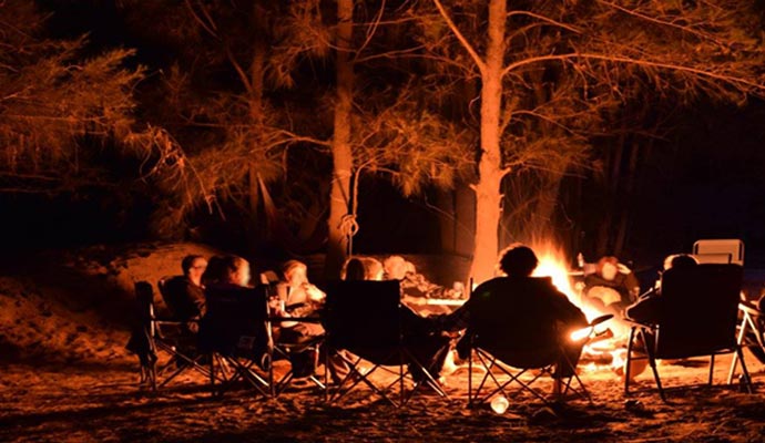
There was ample fire wood to collect along the tracks during the daytime, so we had some warm camp fires to sit around as the temperature fell. 4wdriving can be as extensive as you like from the Buckland Valley as tracks branch out north or south after entering the National Park. Tracks lead across to the Wonnangatta Valley or across the back way to Hotham.
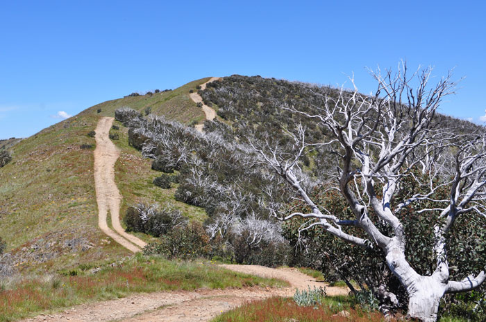
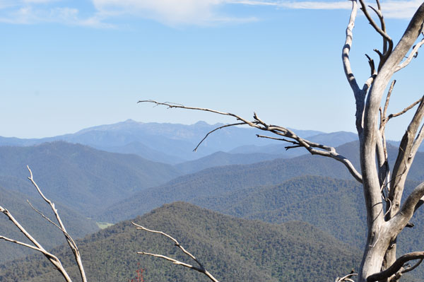
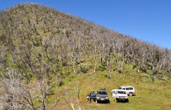
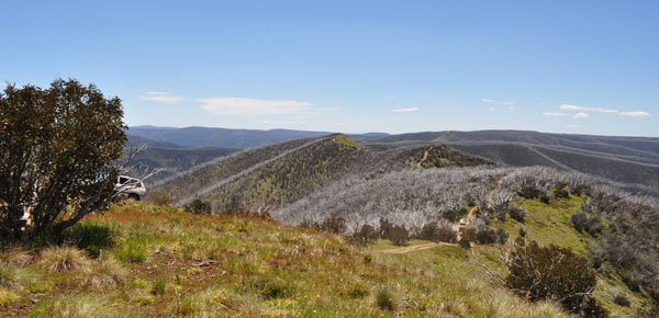
The views were vast and after only recently being burnt by the 2009 bushfires the new growth was bursting with colour.
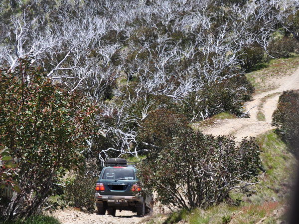
The dead and defoliated trees after the intense fires, allowed us uninterrupted views that would normally have been hidden by the mountain gums.
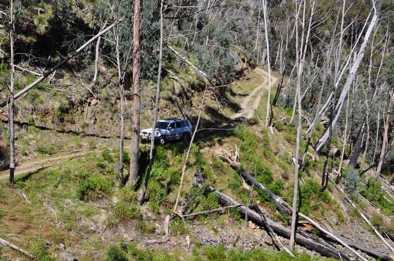
The Twin’s Jeep track winds around the back of Mt Hotham bringing you out at Hotham Heights and a right turn onto the black stuff followed by a quick right again takes you onto the Dargo High Plains Road, which leads through winding valleys and across high ridge tops to Dargo.
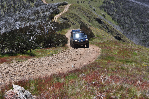
One ‘must do’ track off this road would have to be the infamous Blue Rag track, by all accounts an interesting drive and one not for the faint hearted.
As we’d expected, it wasn’t long before the crowds started to appear, so it’s essential to get an early start on this one and keep your UHF on scan. The last thing you want on this track is to meet someone coming the other way; as this track is both steep and narrow, leaving no room for error.
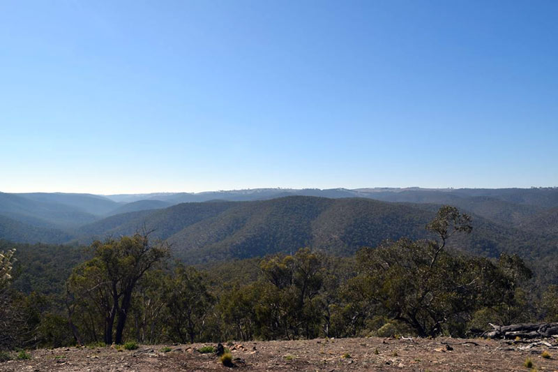
On and on and on along Blue Rag – the view from the Trig Point
The views however are spectacular in all directions, morning is best with the softer light. The trig point can be cold and windy, but today it was warm and sunny.
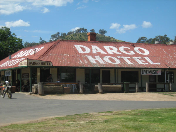
After a quick snack break we headed off again, now with the traffic increasing and passing lots of 4wd’s during our decent. From here we headed south east along the Dargo High Plains Rd aiming for lunch at the Dargo pub.
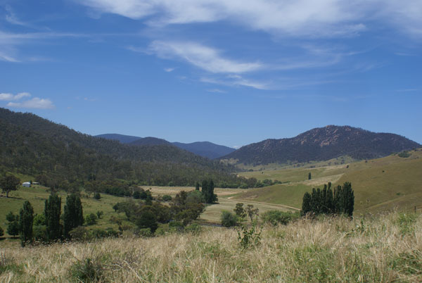
The Dargo Plains Rd passes over beautiful country with tracks leading off up lush green valleys. We inadvertently made a slight detour, but the view and the drive through the valley was wonderful.
With the day half gone we headed on to Dargo River then into town for lunch.
Very busy town is Dargo during the holidays, way too many people for me. The pub was nice but over rated or over crowded, the jury is sill out on that.
Whilst in the area we traveled along the Dargo River, in order to check out some of the camping spots for next time. One had a swinging bridge, privately owned access to a house on the other side.
Nice river, looked cold.
What a day, fast trip home for an easy dinner.
Thanks Wal, Sandra and the kids, Les and Tasha for a great trip and supplying additional pics.

